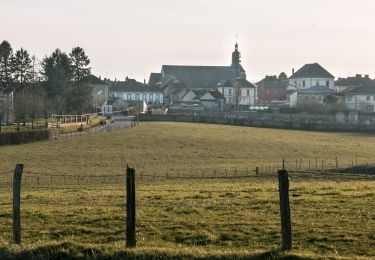
4,2 km | 4,8 km-effort
les mottés
jaoueljnm
Benutzer
Länge
419 m
Maximale Höhe
274 m
Positive Höhendifferenz
0 m
Km-Effort
469 m
Min. Höhe
254 m
Negative Höhendifferenz
15 m
Boucle
Nein
Erstellungsdatum :
2024-10-18 13:30:34.87
Letzte Änderung :
2024-10-18 13:37:03.797
6m
Schwierigkeit : Einfach
Kostenlosegpshiking-Anwendung
Über SityTrail
Tour Wandern von 419 m verfügbar auf Normandie, Orne, Tourouvre au Perche. Diese Tour wird von jaoueljnm vorgeschlagen.
Ort
Land:
France
Region :
Normandie
Abteilung/Provinz :
Orne
Kommune :
Tourouvre au Perche
Standort:
Prépotin
Gehen Sie:(Dec)
Gehen Sie:(UTM)
320588 ; 5388951 (31U) N.
Kommentare
Touren in der Umgebung
[Itinéraire] Parcours de découverte de la Réserve de Bresolettes
Wandern
Einfach
Tourouvre au Perche,
Normandie,
Orne,
France
1h 5min
Ja
Soligny-la-Trappe - Tourouvre - voie Nord 14 km
Wandern
Einfach
Soligny-la-Trappe,
Normandie,
Orne,
France
13,8 km | 16,6 km-effort
3h 40min
Nein
Soligny-la-Trappe - Tourouvre - voie Sud 11 Km
Wandern
Einfach
Soligny-la-Trappe,
Normandie,
Orne,
France
11,1 km | 13,5 km-effort
20min
Nein
2023-10-26 Trappe
Wandern
Medium
Tourouvre au Perche,
Normandie,
Orne,
France
6,9 km | 7,6 km-effort
2h 2min
Nein
[Itinéraire] Parcours de découverte de la Réserve de Bresolettes
Wandern
Einfach
Tourouvre au Perche,
Normandie,
Orne,
France
4,2 km | 4,9 km-effort
1h 6min
Ja
Bubertrté
Wandern
Medium
Tourouvre au Perche,
Normandie,
Orne,
France
7,8 km | 9,4 km-effort
2h 8min
Ja
Burbertré - La-Trappe 17 Km
Wandern
Schwierig
Tourouvre au Perche,
Normandie,
Orne,
France
17,2 km | 21 km-effort
4h 8min
Ja